fig1

Risk-adaptive conservation zones: integrating degradation vulnerability into spatially explicit carbon crediting

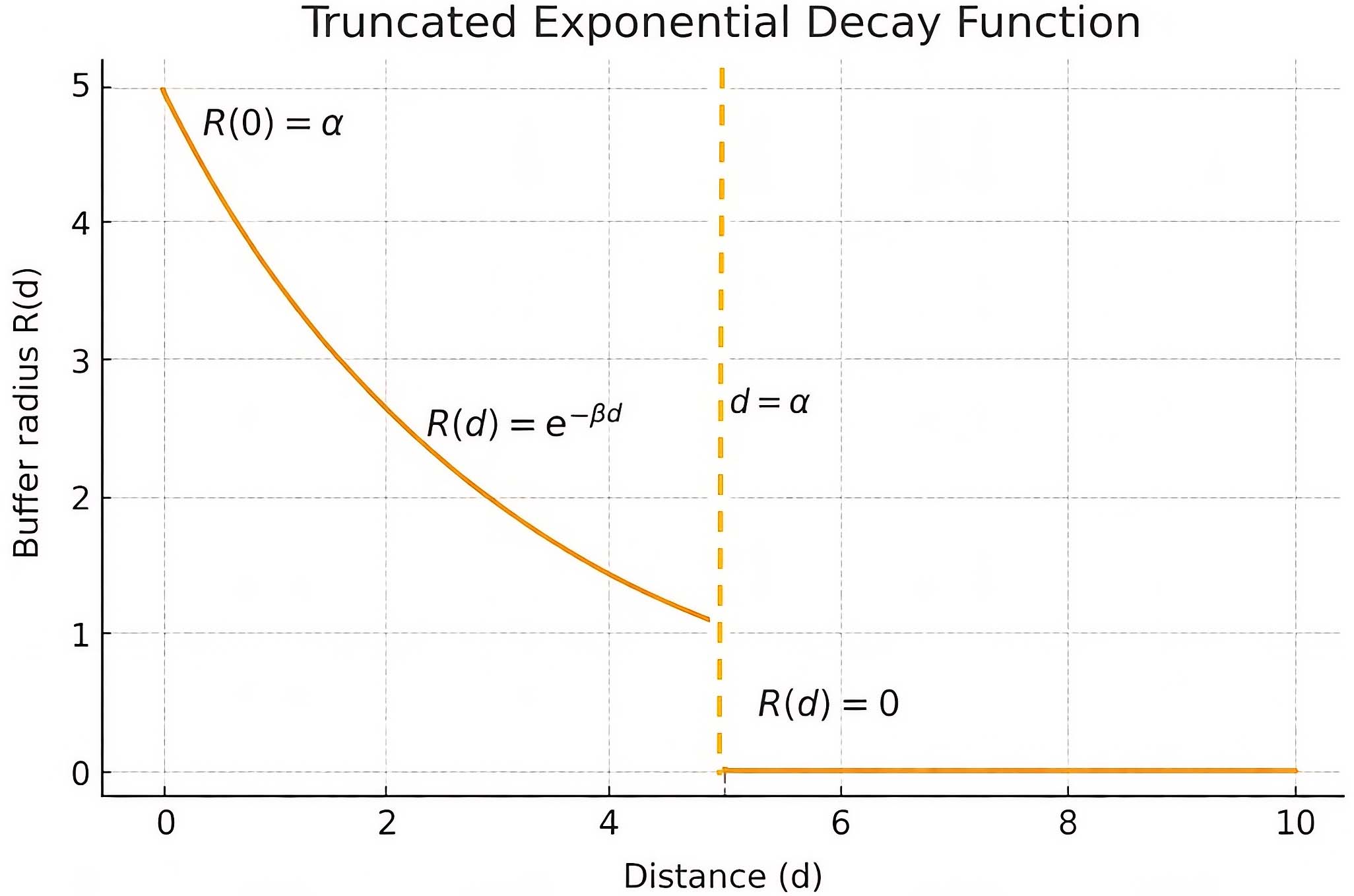
Figure 1. Conceptual illustration for truncated exponential decay function for α = 5 m. When d > α, R(d) = 0; when d = 0, R(d) = 5. The dataset and graphic were generated in Python using NumPy and Matplotlib. Note: The scale of the figure is an approximation.

Carbon Footprints
ISSN 2831-932X (Online)

Portico

All published articles are preserved here permanently

https://www.portico.org/publishers/oae/

Portico

All published articles are preserved here permanently

https://www.portico.org/publishers/oae/