


fig2
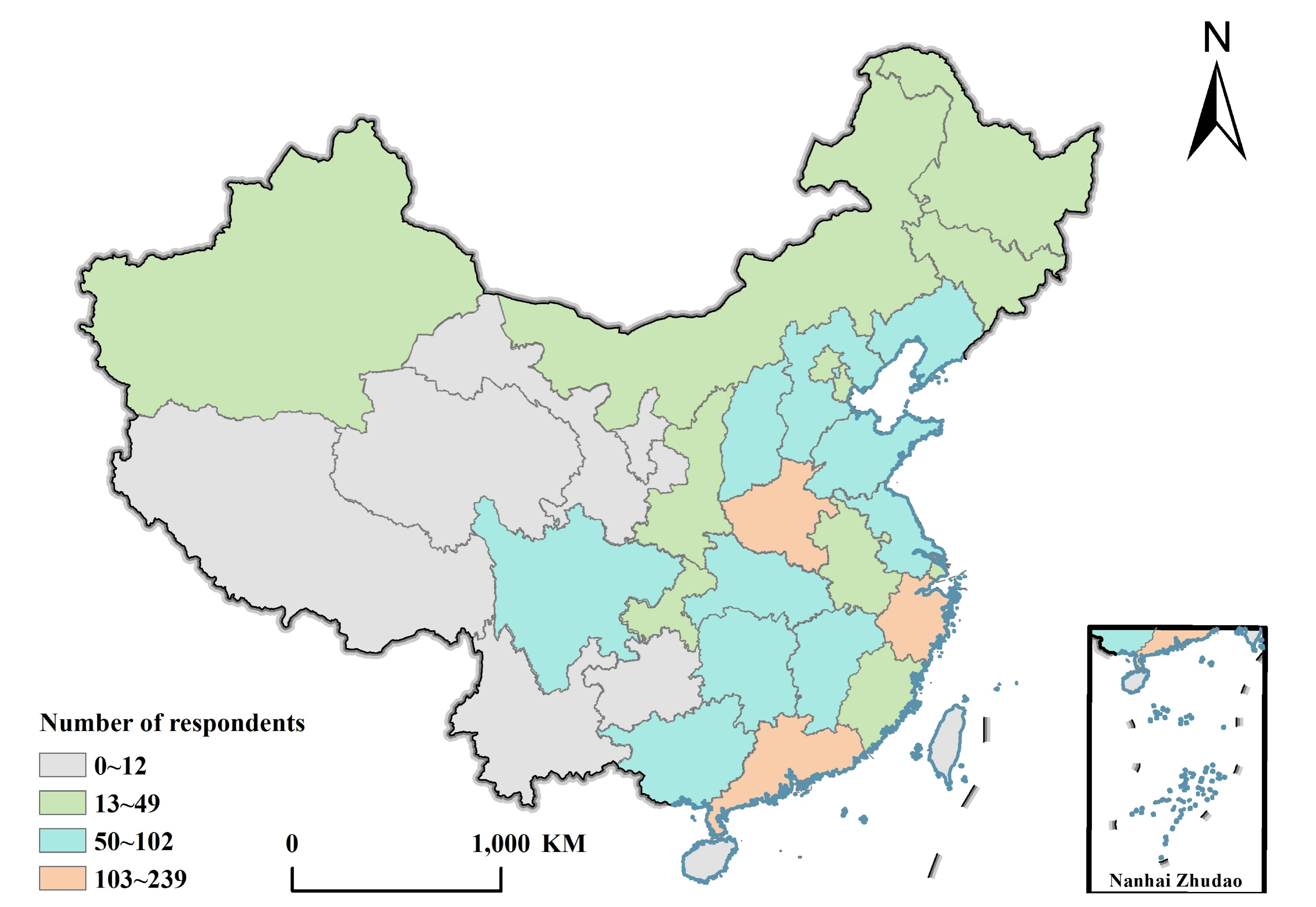
Figure 2. Geographical distribution of respondents. Created with ArcGIS. The basemap is from the China National Platform for Common GeoSpatial Information Services (https://www.tianditu.gov.cn/).
Figure 2. Geographical distribution of respondents. Created with ArcGIS. The basemap is from the China National Platform for Common GeoSpatial Information Services (https://www.tianditu.gov.cn/).


All published articles are preserved here permanently
https://www.portico.org/publishers/oae/


